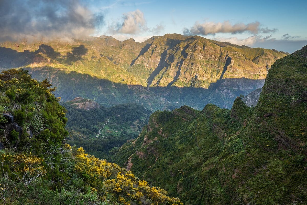
Nestled in a deep valley at the heart of Madeira, Serra de Água is the gateway to some of the island's most spectacular mountain scenery. The village sits along the route to the famous Encumeada Pass, where you can see both the north and south coasts simultaneously.
Getting there and back
Which route
Where to board
Boarding reference: Funchal. Select a journey that names Serra de Água / Serra Água; check the route page for the correct direction and any branch notes. The town name alone does not identify a boarding bay.
From the stop
Use the named Serra de Água stop or timing point for Serra de Água. Plan the pedestrian leg from that point to your exact destination; the bus sheet does not give a walking distance or confirm entrance access.
The way back
Choose the last usable return on the route page before leaving. Use its dated timetable where available, otherwise its linked SIGA sheet. Match the day, direction and stop; a departure from the terminus is not a departure from your stop.
Good to know
- Only selected journeys follow this alignment. A bus with the right number can use a different branch: check the named stop in both directions.
- The bus sources name stops, but do not establish a step-free walking route or the entrance location. Check the final approach and the return boarding point before leaving the bus.
What to see in Serra de Água
The village church dates from the 16th century. Walk along the Ribeira Brava river that flows through the valley. The hydroelectric power station is a landmark of early 20th-century industrial heritage. Continue up to Encumeada Pass for panoramic views of both coasts and access to mountain hiking trails.
Best time to visit
Spring and autumn offer the best hiking conditions. Summer can be hot in the valley. The mountains often have clouds, so aim for early morning visits for clear views at Encumeada. The village celebrates its patron saint festival in August.